

Back in Dar es Salaam
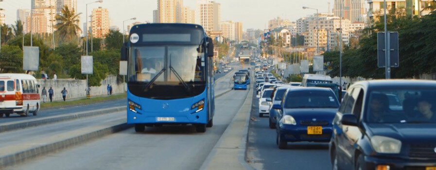
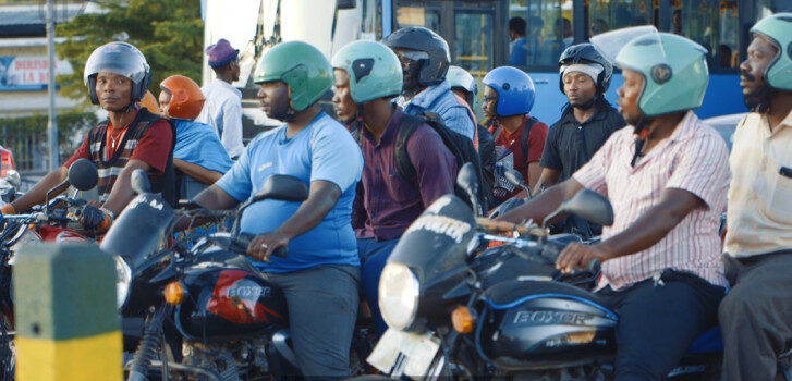
Traffic congestion has a big impact on daily lives of billions of citizens around the world. More than long commuting hours, traffic jams are often translated into health problems, economic costs, energy inefficiency among other problems. Concerned with this problem in the fast-growing city of Dar es Salaam (Tanzania), the GIZ Data Lab proposed the Data 4 Mobility experiment.
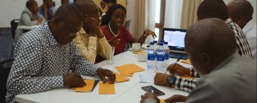
In June 2019, the GIZ Data Lab together with the Transformative Urban Mobility Initiative, Space Enabled Research Group and Dar Rapid Transit System (DART) held a two-day kick-off workshop with local stakeholders in Dar es Salaam to discuss their (data) needs and requirements. Details about this event are described in our previous blog post.
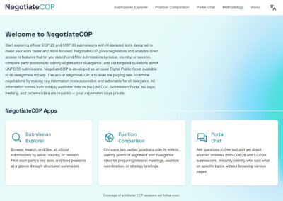
In the time since the first workshop we analyzed local needs, revised requirements and checked data availability. In a next step the Data 4 Mobility team with support from our collaborators at the Space Enabled Group designed a prototypical solution – an interactive map that integrates several layers of data relevant to mobility planning in Dar Es Salaam.
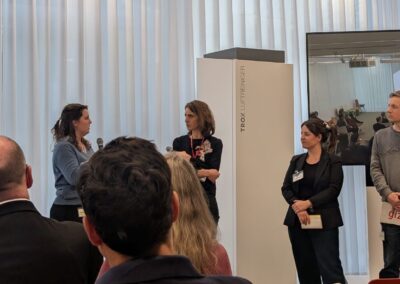
We were happy to return to Dar es Salaam and present the status quo of our work to the local stakeholders. Their feedback to what we had produced so far is crucial for us and the further development of the prototype. Overall the prototype was well received and we got very important feedback on how to further align it with local requirements!
However, we believe that the voices of the stakeholders are better able to represent the essence of our current activities. To hear them, we made a video which captures moments around the prototype’s presentation and reception.
For those of you that want to dive straight into the map itself, the link can be found here.
And for those that are more interested in the technical and data related aspects of the prototype – here are some more details: The map in its current state is a prototype of a data analytics portal to show the local stakeholders what combining different data sources and layering data might look like, and to ask questions on how this portal might work for them, and how to improve it by having more geospatial and data analytics. The preliminary prototype was developed using ArcGIS Online and ESRI software– a way to create and use maps, compile geographic data and analyze mapped information, based on open-source data.
Stakeholders can select specific layers according to their needs and see the results of the chosen data interaction. The mentioned layers in the prototypical map include bus stops (bus rapid transit (BRT) and informal bus stops), population density, punctual location of hospital and medical centers, and average walking distance from certain locations. By combining BRT data with other layers of data, it is possible to analyze which areas are adequately served by existing transportation infrastructure. Besides that, it also provides insights into further development of road infrastructure needed to support urban mobility.
In the current state, the prototype mainly integrates open data, that is freely available. This alone showcases the potential and broad availability of open data per se. It would, however, be technically unproblematic to also include data that until now is proprietary – such as real time data of bus location and schedules etc. – that may further increase the prototype’s value to the stakeholders and the Dar es Salaam mobility planning community.
The next step for us is to ground-validate the current prototype (eg. validate GPS location of bus stops) and consider additional data sources to implement into the prototype to meet the needs of the stakeholders. To achieve this, we need to consider different types of (formal) data sharing agreements with relevant partners/parties.
We will keep you updated on the further development of our experiment in the blog posts that will follow!