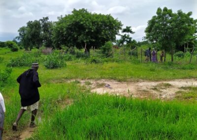
The first step of training the AI model is the collection of unstructured imagery from the ESA Earth Observation program Sentinel-2 of 150 cashew fields in different regions of Burkina Faso. These image samples are combined with farmer surveys collected in 2019 by the Competitive Cashew Initiative (ComCashew). In addition to farmer-level information on agricultural practices, training participation, cashew production and other relevant details (e.g. socio economics), the survey delineates and geo-captures the corresponding plots of each cashew farm. To this end, survey enumerators used GPS devices and asked respondents to walk them along the borders of their plantation.
Combining the satellite imagery with the geo-referenced crop data from the farmer surveys, a Machine Learning algorithm can “learn” two things. First, it learns how to distinguish cashew fields from other crops and non-crop land. Accordingly, the algorithm is able to classify and map crop types of a new area represented by another satellite image.
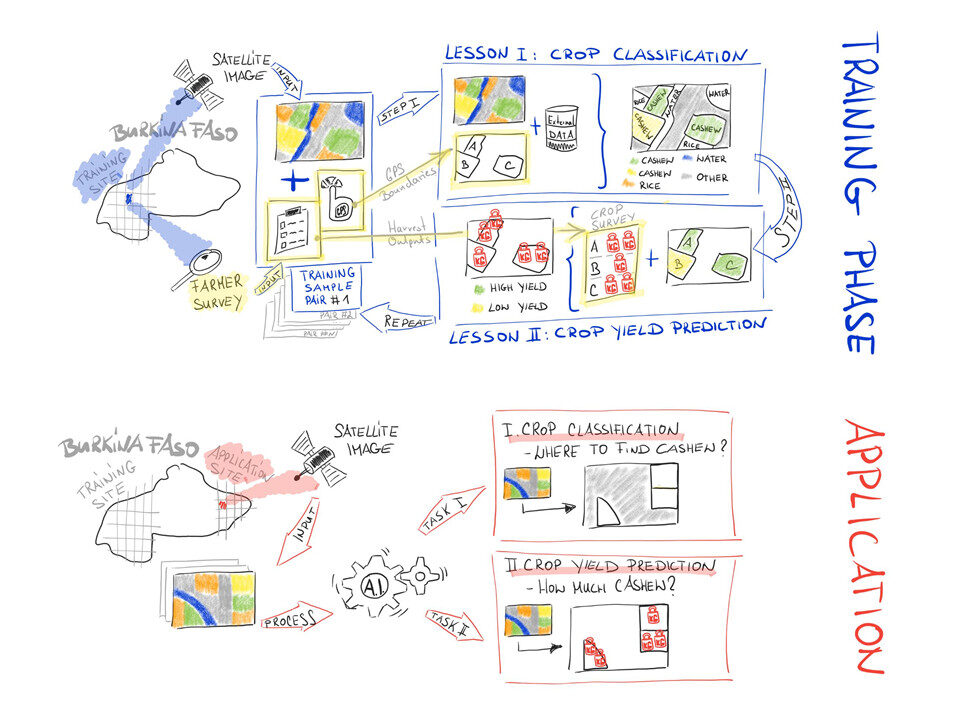
In a second step, the algorithm relates spectral image information of plantations (mainly reflected radiation color and intensity) and corresponding survey-based cashew yield. This way cashew plantations with dark green coloring correspond with high cashew productivity. Consequently, our AI model is able to predict expected yield for the set of cashew plantations covered in a new satellite image.
Finally, on top of the AI model we developed a crop information dashboard that supports decisions on policies, project planning or agricultural practices. The solution has the potential to reduce data collection costs and informs on crop performance over time and space. It equips project managers with a complementary data-driven tool for project monitoring and planning. From a GIZ perspective, the experiment also provides relevant insights to make better use of collected ground data, in particular, to train (future) AI applications in resource-constraint environments.


